PhoTophe

BLOG

Photography has changed the way I see the world around me.

Through it I discover new things and rediscover old ones. Like my island, New Caledonia.

This blog is just me sharing my world through my photography.

Hope you enjoy.

Posts tagged walk
MOMIJIDANI PARK

Miyajima / Itsukushima Island, Japan

The Hotel Kikunoya were kind enough to let us store our luggage after check out so we could visit Mount Misen Observatory. You can hike there but we wanted to jump on the ropeway for a different experience. And it’s a lot quicker. There’s still a 20 minute walk to the cable cart but well worth it as you stroll through one of Japan’s most famous maple leaves valley parks, Momijidani Park. An easy walk with a couple things to visit along the way. Like the Shinomiya Shrine and the Momiji-so restaurant. Of course, you’ll have to cross couple of these uniquely beautiful bridges.

Approaching this bridge from the shade of the forest and seeing the sun light the middle of it and illuminating the leaves around it, was just beautiful and tranquil. I asked my friend, Géraldine, to stand in the middle to show scale. It also makes for a beautiful travel photo that could have been taken anywhere in Japan.

If it’s anything like what we’ve experienced on our little walk to the ropeway, I can only imagine the amazing hike to Mount Misen Observatory.

28 mm, 1/1250th second @ ƒ/2.8, ISO 100

NEW ZEALAND: NORTH ISLAND

TONGARIRO ALPINE CROSSING

DAY 10

Today we do only one thing. The Tongariro Alpine Crossing. A 19.4 kilometre hike.

Thank goodness for the early night on day 9 because we had to be ready and waiting the shuttle, that would bring us to the start of the crossing, by 6 am. Shuttles to and from the car parks are provided by most of the areas’ hotels and campsites as parking is limited to 4 hours at the alpine crossing. The crossing doesn’t loop so unless you’re a super athlete, there’s no way you make the 19.4 kms AND back in that time. I think it took us 7 hours to complete it. One way. So book a shuttle in advance.

Tongariro Alpine Crossing starts at the Mangatepopo carpark and ends at the Ketetaki carpark. It is well managed and accessible to everyone. The young and the old as long as you’re in good physical shape. I saw an 8 to 10 year old kid and a lady, at least, in her sixties on the hike.

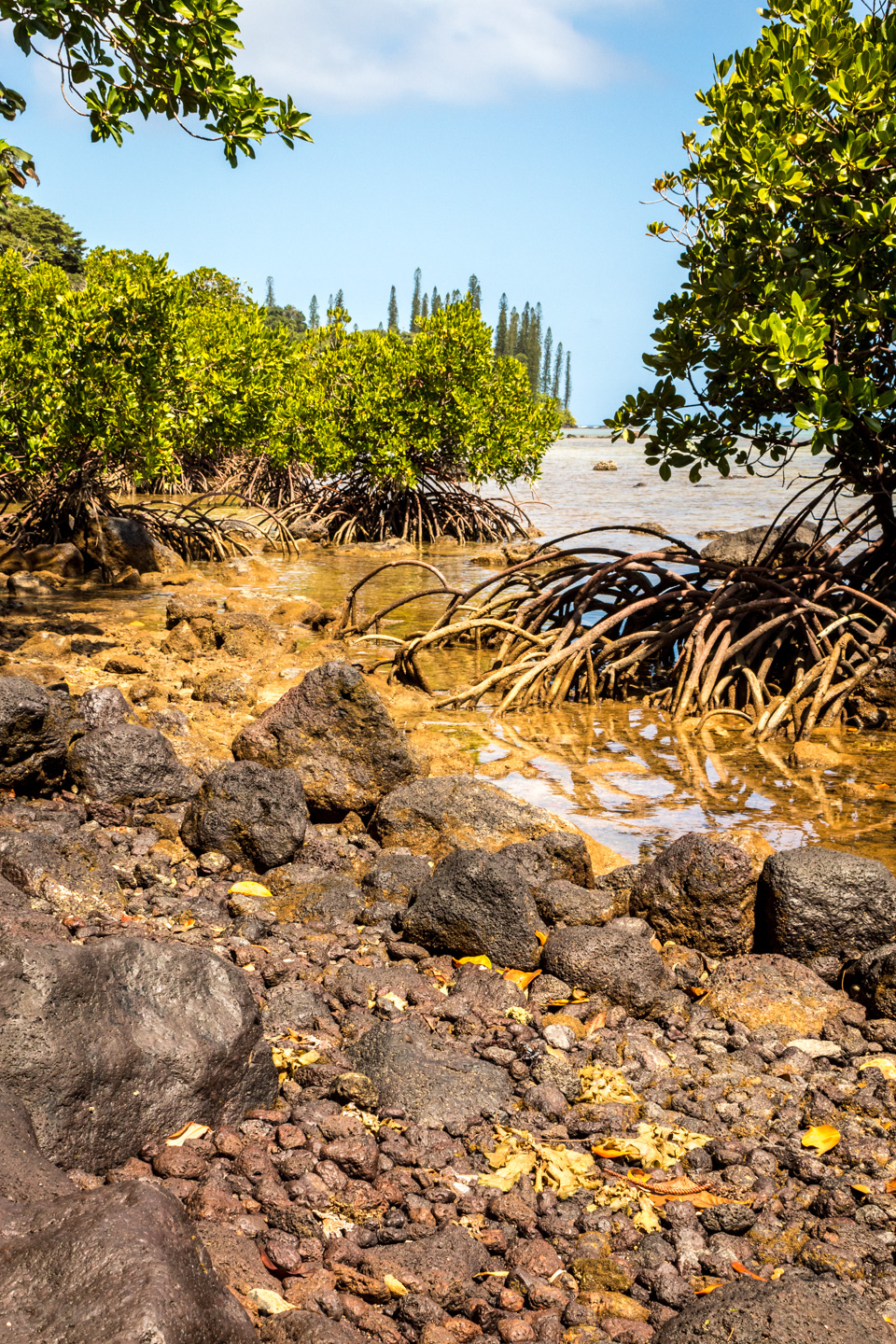
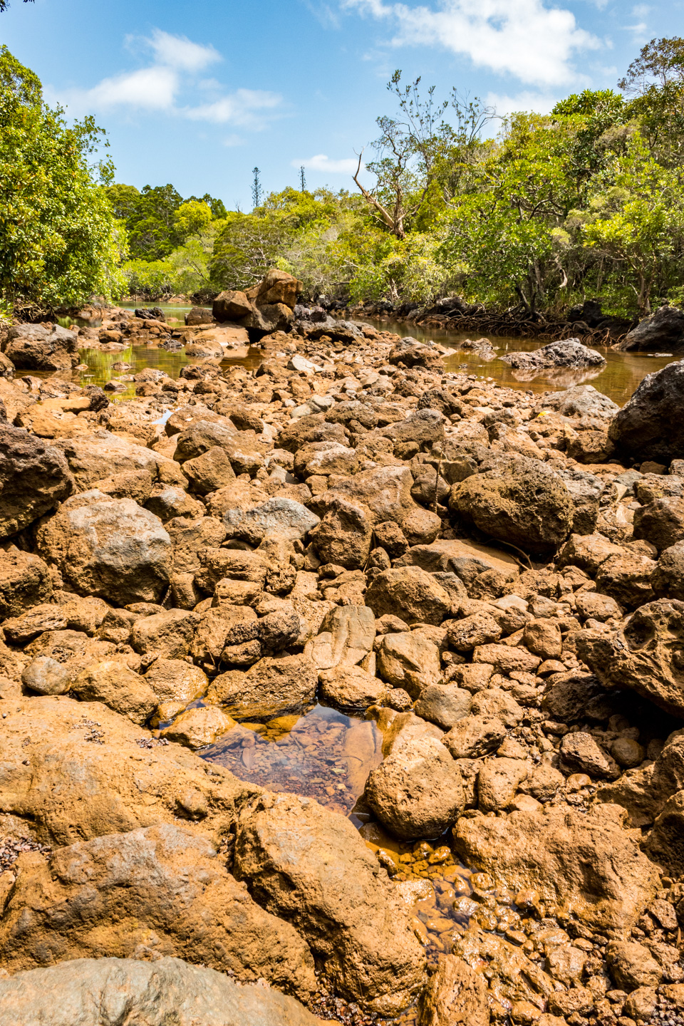
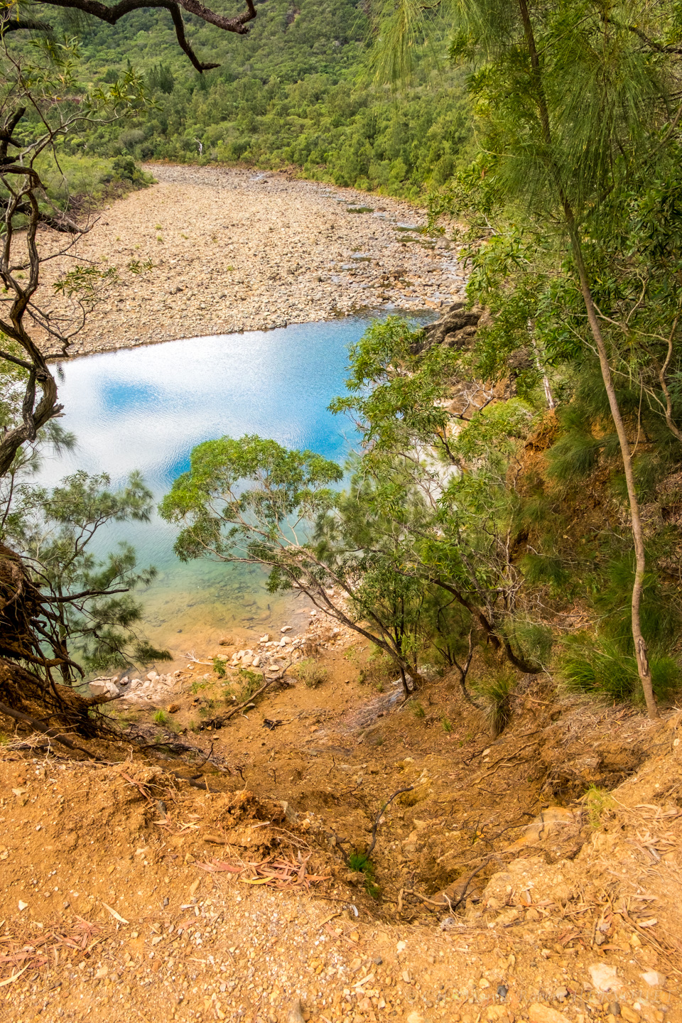
The terrain changes constantly along the way. Starting with low lying brushes, streams, a moist environment to a very rocky and dry earth. Then desert-like as you reach the craters. Made me think of Mars, I don’t know why. It must be the movies. Very loose, rocky earth after that as you climb the steep hill before arriving at the summit. This is where my iPhone gave out on me. It wouldn’t stay on for more than a couple of seconds before shutting off completely. I’m pretty sure it was the drop in temperature. Hence no video of the most crucial time. It was the beginning signs that my battery needed replacing. Anyways, once you hit the summit, all your efforts are compensated by the beautiful Emerald Lakes. Three lakes, three different colours. Magnificent! And, of course, the 360° views of the valley, the snow capped Mount Ruapehu, Mount Ngauruhoe, the craters, steam coming out of the earth... just spectacular! You really feel like on another planet. The descent to the lakes is probably the most dangerous... maybe not dangerous but the probability of injury is most likely to occur here if caution is not adhered to. Take your time and you’ll be fine. After another crater crossing, you arrive to a fourth, much larger lake, the Blue Lake. You see this one before the others from afar and is more impressive then than up close. In my opinion anyway. 

I forgot to mention that there are toilets available every 6 kilometres or so. Very handy. We stopped near one of these for lunch with a view. Not of the toilets. It’s where we got a spectacle of a helicopter bringing in materials and men to empty the toilets. Amazing the speed at which they conducted their work.

From here on end it was pretty much all down hill. Dry, low lying brush to the Ketetahi Shelter where almost everyone stopped for a break and a chat. After that you enter the forest until you reach the second car park. Quite welcoming this forest for it’s shade.

Oh and talk about shade (apart from the forest at the very end), there isn’t any, anywhere, on the alpine crossing. So come prepared with the necessary. Sunscreen, hat, windbreaker (lots of wind and the temperature drops as you arrive towards the summit, even in summer) and most important of all, water. Lots of it. Minimum a litre, more if you can. 19.4 kms up and over mountains is nothing to sniff at so be prepared, take your time and you’ll enjoy every moment of it.

We got back to the lodge around 2 pm. Had a shower, relaxed a little and decided to hit the road. From here on end we were heading north back towards Auckland. We stopped at Taumarunui Holiday Park in the town of Mananui for the night. We arrived a few hours before sunset and took the opportunity for a snooze, tidying up, relaxing, aperitif, dinner and bed. I think we were all in bed by 7:30-8 o’clock. The hike took it’s toll.

That’s it my friends. Tomorrow we head to Waitomo Caves. Goodnight.

p.s. just a self reminder to thank my friend, Alain, for the use of his photos and videos.

BANK PLACE

I just love these kinds of little alley ways with restaurants, cafes, bars and outside seatings. I’m the kind of person who like to sip an espresso, watching people walk by. And on rare occasions, I like to write. Bank Place, Melbourne, Australia. There are many of these alleys in the city. At lunch time and after work they come to life with hundreds of people. They get so busy, it’s hard to get from one end to the other. Great places.

I went with my own version of sepia on this photo, only because of the old buildings and the stone pavement. Most of my street photos contain only one, maximum two, colours. There are always exceptions. It’s just my way of appreciate the scene more.


HIKE ON THE CHEMIN DES BAGNARDS
Hike On The Convicts' Path

Another little recon on this beautiful little path situated in the municipality of Yate (South Province, New Caledonia). The path starts at the Kanua Terra Lodge in Port Boisé Bay. About an hour an a half's drive from Noumea. The road down is descent enough for a small car to make the journey. You will hit a couple of bumpy dirt roads but not to the point of needing a 4X4. Beautiful view are to be seen and also the huge Goro nickel mine (which brings up mix feelings).

Once at the lodge, it's an easy going 5 km walk inland following the Trou Bleu River. The path is mostly shaded, which is great, as the sun can be quite harsh but humidity very high, nonetheless. The whole area is preserved with fishing, camping and fire prohibited. At the end of the path, if you wish, you can go farther (much farther) but you'll have to cross the river. Not a difficult task but a very slippery one. If you're not careful you'll get wet or, worst, hurt yourself. Otherwise you take the same path back to the lodge.

I'll definitely come back for sunrise and sunset shots but this is an area with no light pollution so it's perfect for astrophotography. 

Oh and I thought I'd add my friend's dog Lycan. Trained for security but loves to play.

HIKE ON THE SENTIER DE L'ANCIEN BARRAGE DE DUMBÉA... ALMOST

HIKE ON THE TRAIL OF DUMBEA'S OLD DAM... ALMOST

I wanted to do a recon of this trail for some photos later on. Like myself, a friend and her two kids had never been here either and so came along. We parked the car at the start of the dirt road. we didn't realise we were allowed to drive further up the trail but it was a good think as it gave me the chance to see what scenery offered. The trail follows Dumbea River upstreams to where you eventually reach the old dam.Unfortunately, we didn't quite get there. With the two young kids it took a lot longer than expected to get to the trail heading to the dam. We did stop for lunch and a bit of a swim for the kids as it was a hot day and there's no shade. Nonetheless, it was a great little hike and I got some nice pictures. I'll be heading back out there for another recon to the dam. 

Dumb, South Province, New Caledonia.