PhoTophe

BLOG

Photography has changed the way I see the world around me.

Through it I discover new things and rediscover old ones. Like my island, New Caledonia.

This blog is just me sharing my world through my photography.

Hope you enjoy.

Posts tagged mountains
VERTEUIL SUMMIT

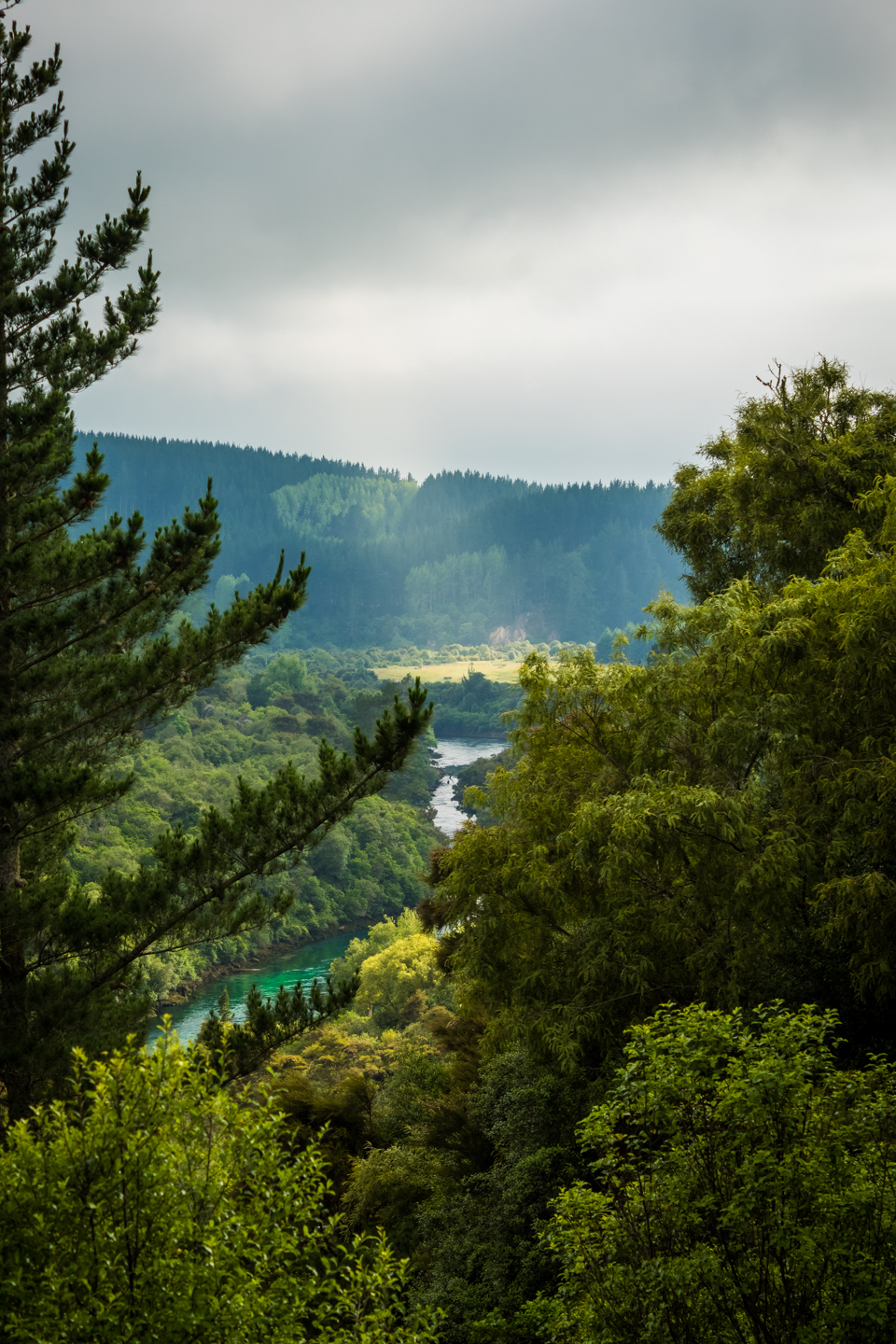
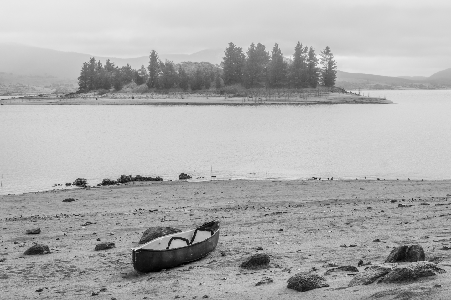
Vallée des Colons, Noumea

Back in 2016 when I didn’t have a camera of my own, my friend Roro lent me his gear. A Nikon D7000, though I didn’t know he had one, it was a camera I had hoped to use one day. And to go with that was the Nikkor 70-300 mm zoom lens, which I was quite impressed with. I’d never used a telephoto zoom lens before and to have only that as your gear, I quickly realised my wide angle landscape photos were no more. But it did open my eye to more detailed shots. Not only in landscapes but also portraits and even macro photography. I’ll explain how I came to photograph this scene in a bit.

I had parked my car and was about to go for a walk when I saw this scene. What captured my eyes was the mountains in the background then all the houses and apartments in the foreground. The mountains are the Réserve Naturelle De La Vallée De La Thy and the Réserve Naturelle Intégrale De La Montagne Des Sources. They were so beautifully lit and even though sunset was still two and half hours away, they had an almost golden colour to them. The trees in the foreground is Ilôt Artificiel (Artificial Island). An oval, man-made island built to naturally circulate the sewage that exit between it and the front of those buildings. The area is commonly known as Sainte Marie because of the bay and another (natural) island of the same name, but this is Vallée Des Colons, one of the oldest suburbs of Noumea. The photo was taken from La Promenade Pierre Vernier towards N’Géa. A beautiful walkway and bike track along the shoreline of Noumea’s southern suburbs. Very popular with the young and old alike.

My instincts for this shot was to go wide but the widest I could go was 70 mm. But I didn’t like the framing at 70 mm so I thought, ok, let’s zoom in. Let’s get in tight and eliminate all the distractions without loosing what caught my eye in the first place. My focal point was obvious, the orange apartments that stood above all the other buildings. The framing came when I was judging the amount of clouds and water to include. And this, is what I ended up capturing. I did try vertical shots but it gave me too much sky and water and that wasn’t pleasing to me. The exposure was straight forward, ISO 100, ƒ/10 aperture and 1/80th shutter speed. Should’ve used a tripod at that speed but, I admit, I was lazy and took the shot hand-held. Thank goodness for the Vibration Reduction (VR) on the lens which helped me get a sharp image. For the focal length used (121 mm), I should have been at 1/125th shutter speed to avoid blur. Post-processing was also straight forward though I did accentuate the golden highlights. I did it by going into the Split-Tone module and using the Highlights eyedropper to select the colour of the clouds and used that to add to the highlights of the overall image. I didn’t touch the Shadows at all. Now the image was a lot closer to what my mind’s eye saw. I like this photo quite a lot.


NIKON D7000

16Mp Crop Sensor DSLR Camera (body only)

NIKKOR AF-S 70-300 MM ƒ/4.5-5.6 IF-ED VR

Nikon Telephoto Zoom Lens


NEW ZEALAND: NORTH ISLAND

TONGARIRO ALPINE CROSSING

DAY 10

Today we do only one thing. The Tongariro Alpine Crossing. A 19.4 kilometre hike.

Thank goodness for the early night on day 9 because we had to be ready and waiting the shuttle, that would bring us to the start of the crossing, by 6 am. Shuttles to and from the car parks are provided by most of the areas’ hotels and campsites as parking is limited to 4 hours at the alpine crossing. The crossing doesn’t loop so unless you’re a super athlete, there’s no way you make the 19.4 kms AND back in that time. I think it took us 7 hours to complete it. One way. So book a shuttle in advance.

Tongariro Alpine Crossing starts at the Mangatepopo carpark and ends at the Ketetaki carpark. It is well managed and accessible to everyone. The young and the old as long as you’re in good physical shape. I saw an 8 to 10 year old kid and a lady, at least, in her sixties on the hike.

The terrain changes constantly along the way. Starting with low lying brushes, streams, a moist environment to a very rocky and dry earth. Then desert-like as you reach the craters. Made me think of Mars, I don’t know why. It must be the movies. Very loose, rocky earth after that as you climb the steep hill before arriving at the summit. This is where my iPhone gave out on me. It wouldn’t stay on for more than a couple of seconds before shutting off completely. I’m pretty sure it was the drop in temperature. Hence no video of the most crucial time. It was the beginning signs that my battery needed replacing. Anyways, once you hit the summit, all your efforts are compensated by the beautiful Emerald Lakes. Three lakes, three different colours. Magnificent! And, of course, the 360° views of the valley, the snow capped Mount Ruapehu, Mount Ngauruhoe, the craters, steam coming out of the earth... just spectacular! You really feel like on another planet. The descent to the lakes is probably the most dangerous... maybe not dangerous but the probability of injury is most likely to occur here if caution is not adhered to. Take your time and you’ll be fine. After another crater crossing, you arrive to a fourth, much larger lake, the Blue Lake. You see this one before the others from afar and is more impressive then than up close. In my opinion anyway. 

I forgot to mention that there are toilets available every 6 kilometres or so. Very handy. We stopped near one of these for lunch with a view. Not of the toilets. It’s where we got a spectacle of a helicopter bringing in materials and men to empty the toilets. Amazing the speed at which they conducted their work.

From here on end it was pretty much all down hill. Dry, low lying brush to the Ketetahi Shelter where almost everyone stopped for a break and a chat. After that you enter the forest until you reach the second car park. Quite welcoming this forest for it’s shade.

Oh and talk about shade (apart from the forest at the very end), there isn’t any, anywhere, on the alpine crossing. So come prepared with the necessary. Sunscreen, hat, windbreaker (lots of wind and the temperature drops as you arrive towards the summit, even in summer) and most important of all, water. Lots of it. Minimum a litre, more if you can. 19.4 kms up and over mountains is nothing to sniff at so be prepared, take your time and you’ll enjoy every moment of it.

We got back to the lodge around 2 pm. Had a shower, relaxed a little and decided to hit the road. From here on end we were heading north back towards Auckland. We stopped at Taumarunui Holiday Park in the town of Mananui for the night. We arrived a few hours before sunset and took the opportunity for a snooze, tidying up, relaxing, aperitif, dinner and bed. I think we were all in bed by 7:30-8 o’clock. The hike took it’s toll.

That’s it my friends. Tomorrow we head to Waitomo Caves. Goodnight.

p.s. just a self reminder to thank my friend, Alain, for the use of his photos and videos.

TAUPO - NEW ZEALAND

TAUPO

We spend the majority of today, day 9, in Taupo visiting a couple of boutiques, falls and a extreme experience for one of us. We end the day thought, in Tongariro National Park.

As we were taking photos at the end of day 8, I saw a lookout from the bridge just in front of the Aratiatia Dam and a sign indicating a trail that may lead to it.

So this morning I though I’d checking that out. And I’m glad I did. It’s a beautiful, easy going walk that lead to two lookouts. Great views of Waikato River and the valley towards the Aratiatia Power Station, and beyond. Unfortunately the light was flat due the thin layer of clouds. The sun had a hard time piercing through. It did come out eventually but we were already on our way by then.

Our fist visit for the morning was Lava Glass. A glassblowing gallery and cafe. I wish I had filmed the inside of the boutique to show you the stunning glassware on display. When you see all the beautiful, vivid colours and designs, and the owner of the place tells you there’s nothing painted, it’s all coloured glass... that’s very impressive, even amazing. For a small fee you have access to the workshop where they do all the glassblowing and to the glass garden where you can wander around hundreds of glass sculptures. It’s not a long visit so if you have a little time to spare, stop by the Lava Lass for a visit. You won’t regret it. 

Our next stop was the Huka Honey Hive. I’ve never seen so many products with or made from honey. You’ll have to visit to check out their website for their line of products. I was equally surprised at the array of honey they had at the tasting stand. A must, is all I can’t say. An interesting place just to walk around. You’ll discover the materials used in the old days to extract honey and see the little bees at work. Fifteen minutes is all you need but I’m sure you’ll stay longer.

I have to apologies for not having any photos of the Lava Glass Gallery nor of the Huka Honey Hive. I filmed those two place which you can check out the video here or the links above. Sorry.

Huka Falls was our main objective today even though we were a little sidetracked. Now the falls are impressive in themselves but the surroundings are just gorgeous. If you get the chance to visit, don’t just stop at the bridge nor the lookouts, wander upstream a little and duck down little tracks to see the peaceful shores of the Waikato River just before it turns into a torrent of water. 

Paloma, my friend’s daughter, wanted to have an extreme experience. So Taupo Bungy was our next stop. She didn’t know which to choose from the Cliff Hanger or the Bungy. In the end she wasn’t too enthusiastic with her choice, the Cliff Hanger, even though we could hear her emotions as she swung (giggle). This part of the Waikato River is just as beautiful as upstream. The cliffs, the river, the vivid colours... just stunning. Even if extreme experiences isn’t your thing, just the beauty of the area is worth a quick stop.

Once the adrenaline settled (giggle), we headed into town for lunch. Then the boys and girls split up for some last minute shopping. Alain and I looked around for hiking shoes as his weren’t adapted for the hike we’re going to do tomorrow. We had pretty much given up when we decided to browse the Hunting & Fishing New Zealand store and found a pair there. Nice, helpful and, most important, knowledgeable staff. He took their advice and didn’t regret it. Also had a great conversation with another staff member about a variety of things. A very nice experience in all. 

So now that we had the necessary equipment  it was time to head farther south to Tongariro National Park. We stopped at a lookout just south of Taupo Lake that had a view north. A sunrise or sunset shot here would be nice. Kept going till we saw the gorgeous Mount Ruapehu. Just stunning! That’s when Alain told me about a chateau at the base of the mountain. Chateau Tongariro, we had to check it out. A beautiful, 200 year old building. A scene I had never seen before, mesmerising. We were going to stay just up the road then check out the chateau but the campsite was full. We ended up finding a spot at the Discovery Lodge Tongariro. Actually, there wasn’t a spot for our camper-van but the they were very accommodating. And very helpful with details about the hike we were going on tomorrow.

And talking about tomorrow, early morning means an early night. So that’s it for day 9 my friends. Hope to see for the next video where we seem to hike Mars. Goodnight.

p.s. I always have to thank Alain for the use of some of his material. Without it, some of these videos wouldn’t make sense.

POURING A RIVER

I took a few photos along Route De Prony (Mont Dore, New Caledonia) heading back home from the Néocallitropsis refuge. I wanted to try out the welder’s glass as a filter on flowing water. I found this bridge interesting with it’s huge tube-like holes and as I headed down stream I found this composition. I love the way the water flows from the holes of the bridge and over the rocks in the foreground. And the mountain in the background adds depth to the image. I really like this photo.

The light was nice due the the overcast day. It helped to extend the long exposure with the small aperture used. I think I focused on the rocks in the foreground which I think was a mistake as I find the bridge slightly on the soft side. Not as sharp as I would have liked. Otherwise very happy with the exposure and composition. And the edit. You may not know but welder’s glass has a strong green tint which, I find, is very difficult to remove completely. Not impossible but more work than I’d like to do in post. The reason why I convert these images to black & white. Next to no colour correction needed.

10 sec @ ƒ/11, 55 mm, ISO 100

NÉOCALLITROPSIS REFUGE FALLS

Cockington Miniature Village was the last of my photos from Australia. And even though I’m heading to New Zealand this weekend, I won’t be sharing photos from there but from home, New Caledonia. The reason being I don’t have a laptop to edit my photos on the go. I promise you’ll get to see them as soon as I get back in a couple of weeks though.

Néocallitropsis Refuge Falls is located in the Yate municipality in New Caledonia. A small waterfall ending in a nice waterhole, especially appreciated after a long walk. A few of us decided to hike the first stage of the GR NC1. Which is a fourteen kilometre hike that starts from the Prony refuge in Baie de la Somme (Mont Dore) and ends at the Néocallitropsis refuge (Yate). The refuge (hut) is located just off to the left of this photos. The hike doesn’t loop so either you retrace you steps back or drop a second car near the Néocallitropsis refuge to head back to the start once finished. I stayed the night in hopes of capturing a couple of sunset and sunrise photos. Unfortunately I missed out on sunset. I drove a couple of ladies and their dog, who thought the track looped, back to Prony refuge. By the time I got back, all the beautiful light had vanished and rain clouds were rolling in. It poured down pretty much all night so a shot of the stars didn’t happen either. I woke up to an overcast and drizzling morning. I want to pack up and head home but I didn’t know when I was going to be back here. I told myself “You’re here now, make the most of it. Go home with at least one photo.”. It stopped raining long enough for the ten minute walk back to the refuge (I didn’t anticipate the bad road to the refuge so I camped next to my car) and take a couple of photos before it started raining again. I got back to the car drenched but happy with myself for not giving up earlier.

Getting the long exposure time that I wanted for this photo wasn’t difficult with the lack of light from the overcast skies. The small aperture to get everything in focus helped as well. My aim was to get a silky smooth waterfall and it’s exactly what I got.

Never give up. You never know what lies in store.

1.3 sec @ ƒ/11, 55 mm, ISO 100

A DAY IN THE SNOW

My friend decided to kill two birds with one stone by visiting Sydney for the first time and keeping her promise to her daughters that they would see and play in the snow. So we headed down to Jindabyne, just south of Canberra (Australia). We stayed two nights there so as to have a whole day in the snow at Thredbo.

These are the only photos I took and I’m the first to admit they’re not very good. I was busy taking souvenir snapshots of the kids. The first couple of photos were taken on the beach at Jindabyne Holiday Park. The rest are from Thredbo.

PLAINE DU CHAMP DE BATAILLE
Battle Field Plain

On the way back from a small hike in Prony with a friend and her two kids, we stopped at the Plaine Du Champ De Bataille lookout (Mont Dore, New Caledonia). On the opposite side of the road from there, are wind turbines, which the youngest of the kids is crazy about them.  So we went up close to them so she could touch and see how huge they are. She was in awe. It was on the way back down to the car that I saw this magnificent view with sunrays lighting up the valley below. I wish I had my tripod with me. I'm sure I would've gotten a cleaner image. I still love the photo though.

HIKE ON THE SENTIER DE L'ANCIEN BARRAGE DE DUMBÉA... ALMOST

HIKE ON THE TRAIL OF DUMBEA'S OLD DAM... ALMOST

I wanted to do a recon of this trail for some photos later on. Like myself, a friend and her two kids had never been here either and so came along. We parked the car at the start of the dirt road. we didn't realise we were allowed to drive further up the trail but it was a good think as it gave me the chance to see what scenery offered. The trail follows Dumbea River upstreams to where you eventually reach the old dam.Unfortunately, we didn't quite get there. With the two young kids it took a lot longer than expected to get to the trail heading to the dam. We did stop for lunch and a bit of a swim for the kids as it was a hot day and there's no shade. Nonetheless, it was a great little hike and I got some nice pictures. I'll be heading back out there for another recon to the dam. 

Dumb, South Province, New Caledonia.

LAST RAYS OF VITAMIN D

Copying one of my favoutire photographers here, Paul Zizka. He often posts landscape photos with himself in them to show the scale of things. That's not me in the photos though but a friend that I invited to tag along. I may do more of these kind of photos with someone in them to show thw scale of things. What do you think?

LOOKING OUT FOR SUN RAYS

I went up to a lookout tower in Mont Koghi (Dumbea, New Caledonia). I think it used to be a bush fires observation tower for fire brigades. It's just before you arrive at the Auberge du Mont Koghi. At this time of the year, the sun sets at the end of the valley of Dumbea. To the left is a gorgeous view of Noumea and the lagoon in the distance. You get a great view as well from the Auberge. A must for a sunset drink and a meal aftewards.